
Topographical Survey Services
Services Offered:
- Boundary survey.
- Contour survey.
- Map Reproduction, Image Editing, Scale Conversion.
- Mapping of existing permanent features.
- Computer aided drawings and data processing using custom made software.
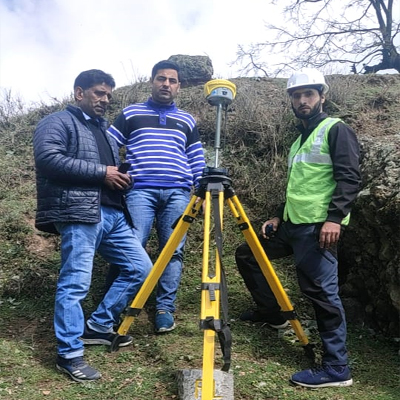
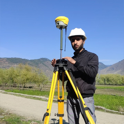
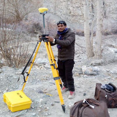
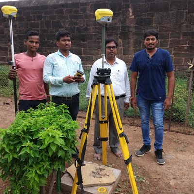
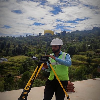
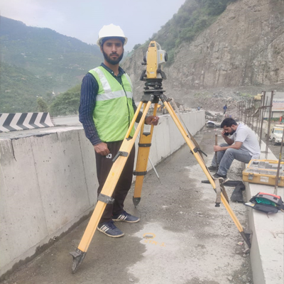
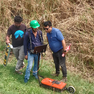
Survey Equipments Used:
- Electronic Total Station : 6 nos
- DGPS : 4 nos
- Drone : 4 nos
- Echo Sounder : 1 no
- SOKKIA Auto Level : 10 nos
Software:
- Auto CAD
- AutoCAD Civil 3D
- Autoplotter
- Soft desk Imaging (GIS)
- MAX Road
Key Benefits:
- Automate the complete design process from survey data collection through design and contract preparation to contour using latest technology.
- Highly productive and accurate design process with reduced design times, more accurate tendering and better quality design.
- Optimize pavement overlay quantities to meet design and budget criteria.
- Improve horizontal & vertical profiles, extend design life, and enhance safety.
- Use familiar template design methods with powerful string modeling.
- Achieve best economic results in design, construction, and supervision costs.
Description of Key Features:
Data from an existing carriageway can be imported in formats like:
- AutoCAD DWG
- 2D and 3D DXF
- MX Survey data
- AutoCAD Land Development Desktop alignments and DTM’s
Once imported, powerful surface analysis tools can identify design issues, drainage problems, or survey data errors that require correction before design begins.
Analysis Tools Include:
- Contours
- Contour banding by level and gradient
- Drainage flow arrows
- Long sections
- Flat spot identification
Using these tools provides the designer with a deeper understanding of the surface, leading to more efficient designs.